File:Village Street, Fivepenny - Geograph - 2638463.jpg
Jump to navigation
Jump to search

No higher resolution available.
Village_Street,_Fivepenny_-_Geograph_-_2638463.jpg (640 × 480 pixels, file size: 81 KB, MIME type: image/jpeg)
| |||||||||||||||||||||||||
|
Galleries | B8014 | ||
File history
Click on a date/time to view the file as it appeared at that time.
| Date/Time | Thumbnail | Dimensions | User | Comment | |
|---|---|---|---|---|---|
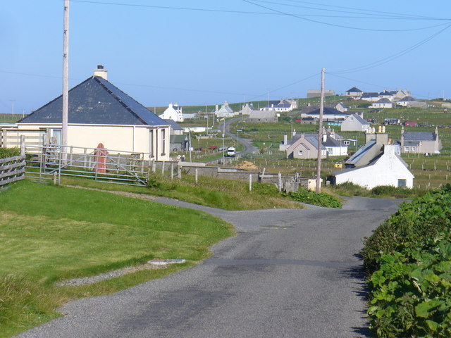
| current | 20:41, 13 November 2016 | | 640 × 480 (81 KB) | Vlad (talk | contribs) | '''Village Street, Fivepenny''' Coig Peighinnean - a street village in the Butt of Lewis with long strip fields behind the roadside crofts. |
File usage
The following 2 pages use this file: