File:Village sign, Langford, Beds - Geograph - 187381.jpg
Jump to navigation
Jump to search

No higher resolution available.
Village_sign,_Langford,_Beds_-_Geograph_-_187381.jpg (640 × 477 pixels, file size: 471 KB, MIME type: image/jpeg)
| |||||||||||||||||||||||||
|
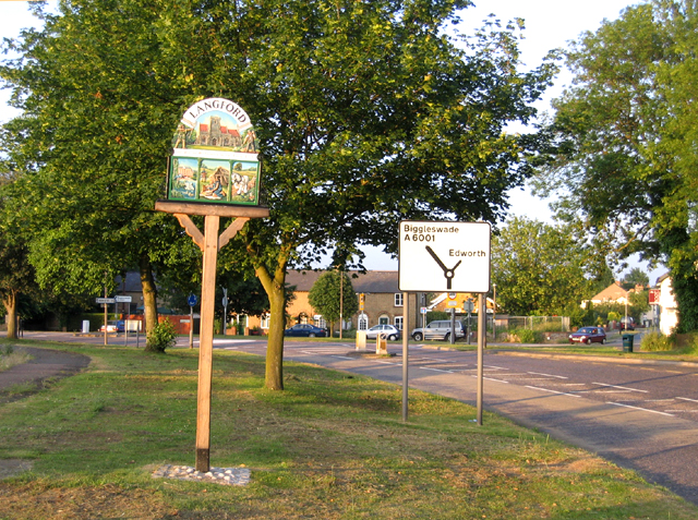
Galleries | B659 | A6001 | Bedfordshire Scenic Route | Advance Direction Sign | Roundabout | S2 | ||
File history
Click on a date/time to view the file as it appeared at that time.
| Date/Time | Thumbnail | Dimensions | User | Comment | |
|---|---|---|---|---|---|
| current | 09:19, 9 December 2009 | | 640 × 477 (471 KB) | Bob@romiley1 (talk | contribs) | {{Information |description = Village sign, Langford, Beds |day = 16 |month = 06 |year = 2006 |photographer = © Copyright [http://www.geograph.org.uk/profile/2182 Rodney Burton] and licensed for reuse under [http://creativecommons |
File usage
The following 5 pages use this file: