File:WP 20161019-1304 - R166 Tallanstown ahead 53.9101216N 6.4945179W.jpg
Jump to navigation
Jump to search

Size of this preview: 800 × 449 pixels. Other resolution: 2,592 × 1,456 pixels.
Original file (2,592 × 1,456 pixels, file size: 1.37 MB, MIME type: image/jpeg)
| |||||||||||||||||||||||||
|
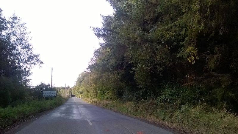
Galleries | R166 | County Louth | Images by C2r | Route Confirmation Sign | ||
File history
Click on a date/time to view the file as it appeared at that time.
| Date/Time | Thumbnail | Dimensions | User | Comment | |
|---|---|---|---|---|---|
| current | 10:46, 25 October 2016 | | 2,592 × 1,456 (1.37 MB) | C2r (talk | contribs) | Route Confirmation Sign for Tallanstown |
File usage
The following page uses this file: