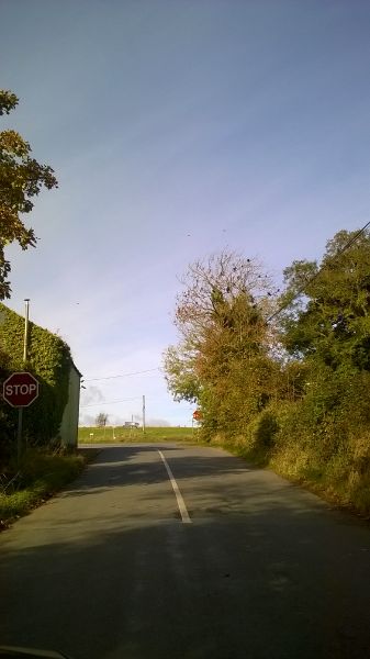
File:WP 20161019-1310 - Stop Signs, Mullacrew Cross Roads 53.937513N 6.5393884W.jpg
Jump to navigation
Jump to search

Size of this preview: 337 × 600 pixels. Other resolution: 1,456 × 2,592 pixels.
Original file (1,456 × 2,592 pixels, file size: 1.1 MB, MIME type: image/jpeg)
| |||||||||||||||||||||||||
|
Galleries | R171 | County Louth | Images by C2r | Regulatory Sign/Stop | ||
File history
Click on a date/time to view the file as it appeared at that time.
| Date/Time | Thumbnail | Dimensions | User | Comment | |
|---|---|---|---|---|---|
| current | 10:23, 25 October 2016 | | 1,456 × 2,592 (1.1 MB) | C2r (talk | contribs) | Stop Signs, Mullacrew Crossroads |
File usage
The following 3 pages use this file: