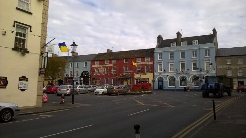
File:WP 20161022-1337 - Cahir looking towards the town square 52.37449N 7.92459W.jpg
Jump to navigation
Jump to search


Size of this preview: 800 × 449 pixels. Other resolution: 2,592 × 1,456 pixels.
Original file (2,592 × 1,456 pixels, file size: 987 KB, MIME type: image/jpeg)
| |||||||||||||||||||||||||
|
Galleries | R913 | R640 | R670 | Cahir | County Tipperary | Images by C2r | ||
File history
Click on a date/time to view the file as it appeared at that time.
| Date/Time | Thumbnail | Dimensions | User | Comment | |
|---|---|---|---|---|---|
| current | 15:09, 24 October 2016 | | 2,592 × 1,456 (987 KB) | C2r (talk | contribs) | Cahir looking towards the town square |
File usage
The following 4 pages use this file: