File:Wakefield Road - viewed from Swillington Lane - Geograph - 4796807.jpg
Jump to navigation
Jump to search

No higher resolution available.
Wakefield_Road_-_viewed_from_Swillington_Lane_-_Geograph_-_4796807.jpg (640 × 480 pixels, file size: 57 KB, MIME type: image/jpeg)
| |||||||||||||||||||||||||
|
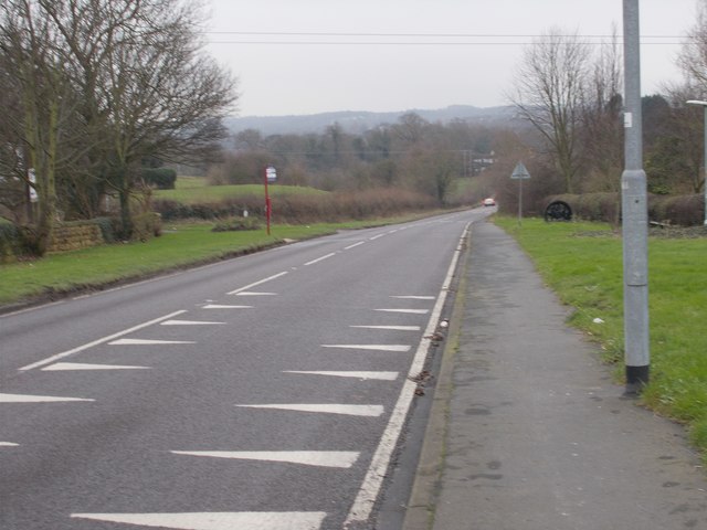
Galleries | A642 | Dragon's teeth | Bus stop | ||
File history
Click on a date/time to view the file as it appeared at that time.
| Date/Time | Thumbnail | Dimensions | User | Comment | |
|---|---|---|---|---|---|
| current | 00:44, 8 January 2018 | | 640 × 480 (57 KB) | C2r (talk | contribs) | '''Wakefield Road - viewed from Swillington Lane''' |
File usage
The following 3 pages use this file: