File:Wakefield Road A642, Whitley Upper (C) Humphrey Bolton - Geograph - 903620.jpg
Jump to navigation
Jump to search

No higher resolution available.
Wakefield_Road_A642,_Whitley_Upper_(C)_Humphrey_Bolton_-_Geograph_-_903620.jpg (640 × 480 pixels, file size: 91 KB, MIME type: image/jpeg)
| |||||||||||||||||||||||||
|
Galleries | A642 | ||
File history
Click on a date/time to view the file as it appeared at that time.
| Date/Time | Thumbnail | Dimensions | User | Comment | |
|---|---|---|---|---|---|
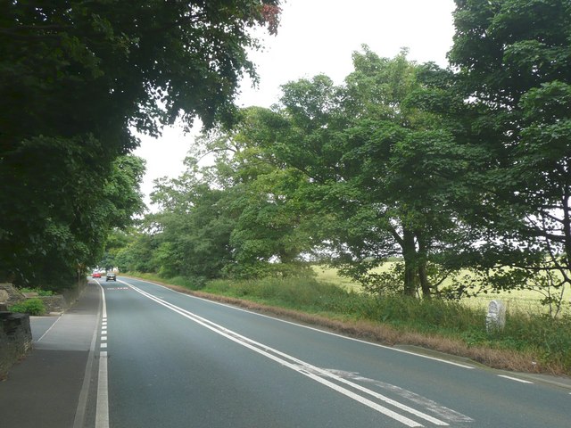
| current | 20:35, 13 March 2014 | | 640 × 480 (91 KB) | Vlad (talk | contribs) | '''Wakefield Road A642, Whitley Upper (C) Humphrey Bolton '''<br/>This was a long-distance turnpike road. The milestone has 'Wakefield and Austerlands Road' at the top. Austerlands is on the outskirts of Oldham, on the old West Riding boundary. |
File usage
The following page uses this file:
_Humphrey_Bolton_-_Geograph_-_903620.jpg&oldid=366784)