File:Wales Farm Road, North Acton (C) David Hawgood - Geograph - 177890.jpg
Jump to navigation
Jump to search

No higher resolution available.
Wales_Farm_Road,_North_Acton_(C)_David_Hawgood_-_Geograph_-_177890.jpg (640 × 480 pixels, file size: 87 KB, MIME type: image/jpeg)
| |||||||||||||||||||||||||
File history
Click on a date/time to view the file as it appeared at that time.
| Date/Time | Thumbnail | Dimensions | User | Comment | |
|---|---|---|---|---|---|
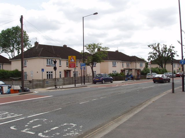
| current | 20:49, 3 February 2015 | | 640 × 480 (87 KB) | Vlad (talk | contribs) | '''Wales Farm Road, North Acton (C) David Hawgood '''<br/>View to houses on the south-east side, with Acorn Gardens on the left. |
File usage
The following 3 pages use this file:
_David_Hawgood_-_Geograph_-_177890.jpg&oldid=394908)