File:Wansbeck Road North - Geograph - 21610.jpg
Jump to navigation
Jump to search

No higher resolution available.
Wansbeck_Road_North_-_Geograph_-_21610.jpg (640 × 479 pixels, file size: 190 KB, MIME type: image/jpeg)
| |||||||||||||||||||||||||
|
Galleries | C103 (Newcastle upon Tyne) | Newcastle upon Tyne | ||
File history
Click on a date/time to view the file as it appeared at that time.
| Date/Time | Thumbnail | Dimensions | User | Comment | |
|---|---|---|---|---|---|
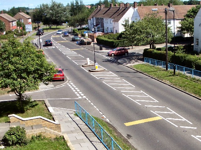
| current | 15:06, 19 September 2018 | | 640 × 479 (190 KB) | Gc a690 (talk | contribs) | '''Wansbeck Road North''' This was taken from the bridge of Wansbeck Road Metro station, looking north. |
File usage
The following page uses this file: