File:Warrendene Road junction with Bramley End - Geograph - 4104394.jpg
Jump to navigation
Jump to search

No higher resolution available.
Warrendene_Road_junction_with_Bramley_End_-_Geograph_-_4104394.jpg (640 × 455 pixels, file size: 73 KB, MIME type: image/jpeg)
| |||||||||||||||||||||||||
|
Galleries | C77 (Buckinghamshire) | Buckinghamshire | ||
File history
Click on a date/time to view the file as it appeared at that time.
| Date/Time | Thumbnail | Dimensions | User | Comment | |
|---|---|---|---|---|---|
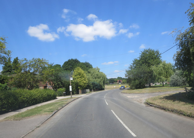
| current | 15:53, 11 February 2017 | | 640 × 455 (73 KB) | Si404 (talk | contribs) | '''Warrendene Road junction with Bramley End''' Bramley End is a tiny cul-de-sac on the left; opposite the diminutive crescent of Dene Road. |
File usage
The following page uses this file: