File:Water End- Swanland Road (C) Nigel Cox - Geograph - 311648.jpg
Jump to navigation
Jump to search

No higher resolution available.
Water_End-_Swanland_Road_(C)_Nigel_Cox_-_Geograph_-_311648.jpg (640 × 480 pixels, file size: 150 KB, MIME type: image/jpeg)
| |||||||||||||||||||||||||
|
Galleries | A1 | A5092 (Barnet Bypass) | A555 (Barnet Bypass) | unclassified | ||
File history
Click on a date/time to view the file as it appeared at that time.
| Date/Time | Thumbnail | Dimensions | User | Comment | |
|---|---|---|---|---|---|
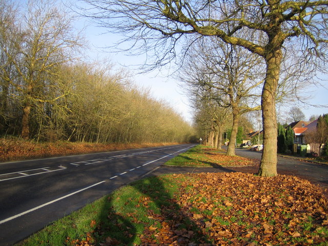
| current | 20:24, 6 October 2014 | | 640 × 480 (150 KB) | Vlad (talk | contribs) | '''Water End- Swanland Road (C) Nigel Cox '''<br/>On the 1940s OS map this road is described as the A555. Nowadays it is a backwater with the A1(M) running parallel to it and beyond the trees to the left, while the A555 is now a link road near Manchest... |
File usage
The following 4 pages use this file:
_Nigel_Cox_-_Geograph_-_311648.jpg&oldid=388586)