File:Waterden Road (C) Colin Smith - Geograph - 2350231.jpg
Jump to navigation
Jump to search

No higher resolution available.
Waterden_Road_(C)_Colin_Smith_-_Geograph_-_2350231.jpg (640 × 480 pixels, file size: 105 KB, MIME type: image/jpeg)
| |||||||||||||||||||||||||
|
Galleries | A246 | A2004 (Guildford) | Guildford | ||
File history
Click on a date/time to view the file as it appeared at that time.
| Date/Time | Thumbnail | Dimensions | User | Comment | |
|---|---|---|---|---|---|
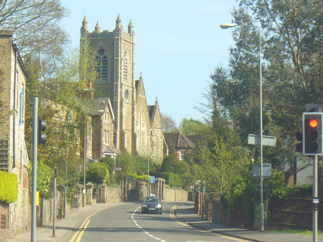
| current | 19:59, 21 June 2014 | | 640 × 480 (105 KB) | Vlad (talk | contribs) | '''Waterden Road (C) Colin Smith '''<br/>Main route in central Guildford, skirting the town centre on its eastern side between Epsom and London Roads. Christ Church dominates the curving road. |
File usage
The following 2 pages use this file:
_Colin_Smith_-_Geograph_-_2350231.jpg&oldid=378993)