File:Waterfall on Glenariffe Road - Geograph - 3220593.jpg
Jump to navigation
Jump to search

Size of this preview: 450 × 600 pixels. Other resolution: 480 × 640 pixels.
Original file (480 × 640 pixels, file size: 44 KB, MIME type: image/jpeg)
| |||||||||||||||||||||||||
|
Galleries | A43 (Northern Ireland) | Glenballyemon Scenic Route | ||
File history
Click on a date/time to view the file as it appeared at that time.
| Date/Time | Thumbnail | Dimensions | User | Comment | |
|---|---|---|---|---|---|
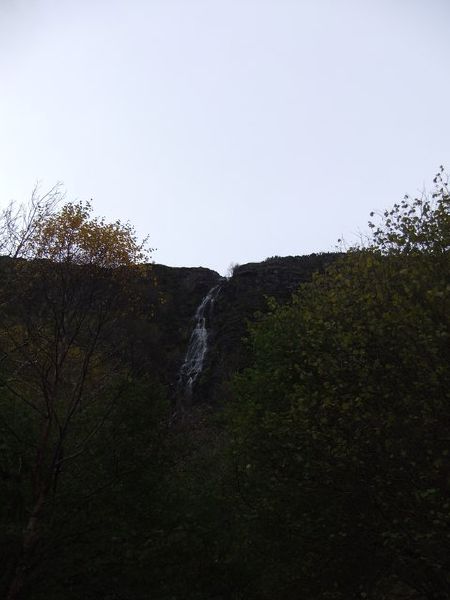
| current | 16:11, 24 May 2013 | | 480 × 640 (44 KB) | Si404 (talk | contribs) | '''Waterfall on Glenariffe Road'''<br/>There was a reasonable flow in the waterfall after the recent rainfall. |
File usage
The following 3 pages use this file: