File:Waterloo Road, Smethwick (C) Jonathan Billinger - Geograph - 1780235.jpg
Jump to navigation
Jump to search

No higher resolution available.
Waterloo_Road,_Smethwick_(C)_Jonathan_Billinger_-_Geograph_-_1780235.jpg (640 × 480 pixels, file size: 230 KB, MIME type: image/jpeg)
| |||||||||||||||||||||||||
File history
Click on a date/time to view the file as it appeared at that time.
| Date/Time | Thumbnail | Dimensions | User | Comment | |
|---|---|---|---|---|---|
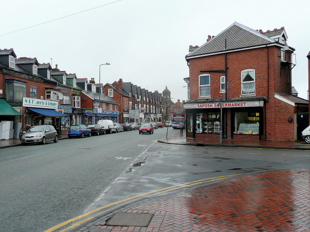
| current | 19:40, 28 August 2014 | | 640 × 480 (230 KB) | Vlad (talk | contribs) | '''Waterloo Road, Smethwick (C) Jonathan Billinger '''<br/>Looking north-east from the junction of Sycamore Road towards the town centre. |
File usage
The following 3 pages use this file:
_Jonathan_Billinger_-_Geograph_-_1780235.jpg&oldid=384265)