File:Watton Road, Ware (C) Rob Candlish - Geograph - 1976996.jpg
Jump to navigation
Jump to search

No higher resolution available.
Watton_Road,_Ware_(C)_Rob_Candlish_-_Geograph_-_1976996.jpg (640 × 480 pixels, file size: 83 KB, MIME type: image/jpeg)
| |||||||||||||||||||||||||
|
Galleries | B1001 | ||
File history
Click on a date/time to view the file as it appeared at that time.
| Date/Time | Thumbnail | Dimensions | User | Comment | |
|---|---|---|---|---|---|
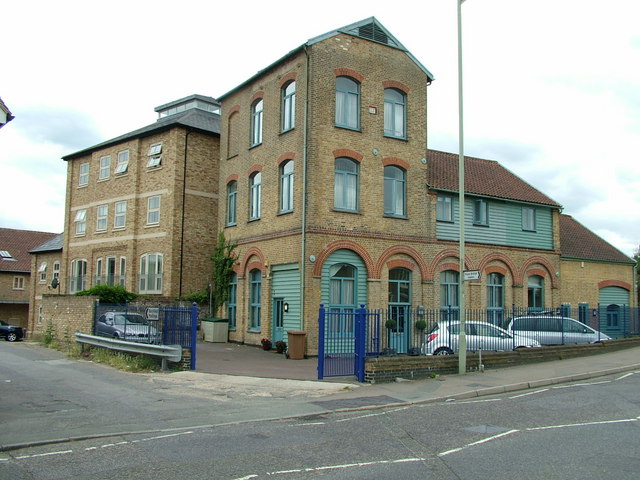
| current | 19:55, 1 May 2015 | | 640 × 480 (83 KB) | Vlad (talk | contribs) | '''Watton Road, Ware (C) Rob Candlish '''<br/>Old brewery in Watton Road, Ware, now converted into housing |
File usage
The following page uses this file:
_Rob_Candlish_-_Geograph_-_1976996.jpg&oldid=397685)