File:Wearmouth Bridge - Geograph - 623383.jpg
Jump to navigation
Jump to search

No higher resolution available.
Wearmouth_Bridge_-_Geograph_-_623383.jpg (640 × 480 pixels, file size: 71 KB, MIME type: image/jpeg)
| |||||||||||||||||||||||||
|
Galleries | A1018 | A19 | A183 | Sunderland | Wearmouth Bridge | ||
File history
Click on a date/time to view the file as it appeared at that time.
| Date/Time | Thumbnail | Dimensions | User | Comment | |
|---|---|---|---|---|---|
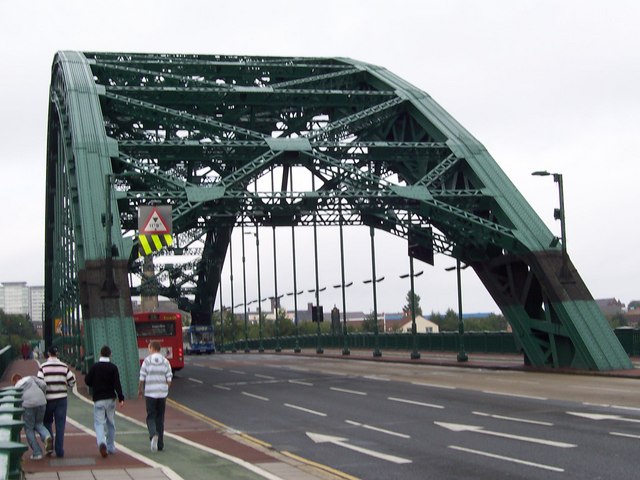
| current | 14:15, 8 July 2010 | | 640 × 480 (71 KB) | Bob@romiley1 (talk | contribs) | '''Wearmouth Bridge'''<br/>Opened in 1929, this bridge had been built around an original cast-iron structure of 1797. See <span class="nowrap"><a title="http://en.wikipedia.org/wiki/Wearmouth_Bridge" rel="nofollow" href="http://en.wikipedia.org/wiki/Wearm |
File usage
The following 6 pages use this file: