File:Wemyss Bay - Geograph - 3362569.jpg
Jump to navigation
Jump to search

No higher resolution available.
Wemyss_Bay_-_Geograph_-_3362569.jpg (640 × 446 pixels, file size: 111 KB, MIME type: image/jpeg)
| |||||||||||||||||||||||||
|
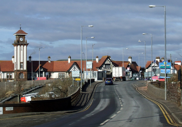
Galleries | A78 | Wemyss Bay | ||
File history
Click on a date/time to view the file as it appeared at that time.
| Date/Time | Thumbnail | Dimensions | User | Comment | |
|---|---|---|---|---|---|
| current | 00:01, 3 March 2021 | | 640 × 446 (111 KB) | Tam nugent (talk | contribs) | The A78 at Wemyss Bay Pier. The tower is at the railway station and pier. The bridge in the foreground crosses the Kelly Burn and marks the Inverclyde/North Ayrshire boundary. |
File usage
The following page uses this file: