File:West Baldwin Road (B22) - Cattle grid... (C) Joseph Mischyshyn - Geograph - 1702459.jpg
Jump to navigation
Jump to search

No higher resolution available.
West_Baldwin_Road_(B22)_-_Cattle_grid..._(C)_Joseph_Mischyshyn_-_Geograph_-_1702459.jpg (640 × 427 pixels, file size: 106 KB, MIME type: image/jpeg)
| |||||||||||||||||||||||||
|
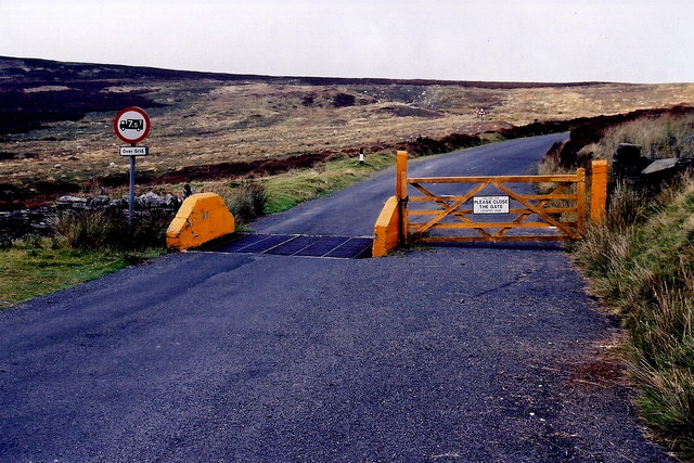
Galleries | B22 (Isle of Man) | Cattle Grid | Regulatory Sign/Maximum Weight | ||
File history
Click on a date/time to view the file as it appeared at that time.
| Date/Time | Thumbnail | Dimensions | User | Comment | |
|---|---|---|---|---|---|
| current | 21:42, 17 June 2013 | | 640 × 427 (106 KB) | Si404 (talk | contribs) | '''West Baldwin Road (B22) - Cattle grid... (C) Joseph Mischyshyn '''<br/>View is to the northwest from B22 on Injebreck Hill near intersection of B22 with B10. |
File usage
The following 2 pages use this file:
_-_Cattle_grid..._(C)_Joseph_Mischyshyn_-_Geograph_-_1702459.jpg&oldid=472300)