File:West Blackhall Street - Geograph - 337036.jpg
Jump to navigation
Jump to search

No higher resolution available.
West_Blackhall_Street_-_Geograph_-_337036.jpg (640 × 480 pixels, file size: 89 KB, MIME type: image/jpeg)
| |||||||||||||||||||||||||
|
Galleries | B7054 (Greenock Centre) | A770 | Greenock | ||
File history
Click on a date/time to view the file as it appeared at that time.
| Date/Time | Thumbnail | Dimensions | User | Comment | |
|---|---|---|---|---|---|
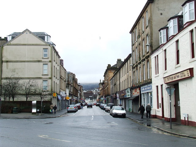
| current | 23:12, 27 May 2021 | | 640 × 480 (89 KB) | Tam nugent (talk | contribs) | '''West Blackhall Street''' Viewed from Grey Place. The west end of the original B7054 where (in the foreground) it met what used to be the A78, but what is now the A770. |
File usage
There are no pages that use this file.