File:West Kilbride-Dalry Road (C) wfmillar - Geograph - 1017696.jpg
Jump to navigation
Jump to search

No higher resolution available.
West_Kilbride-Dalry_Road_(C)_wfmillar_-_Geograph_-_1017696.jpg (640 × 480 pixels, file size: 79 KB, MIME type: image/jpeg)
| |||||||||||||||||||||||||
|
Galleries | B781 | ||
File history
Click on a date/time to view the file as it appeared at that time.
| Date/Time | Thumbnail | Dimensions | User | Comment | |
|---|---|---|---|---|---|
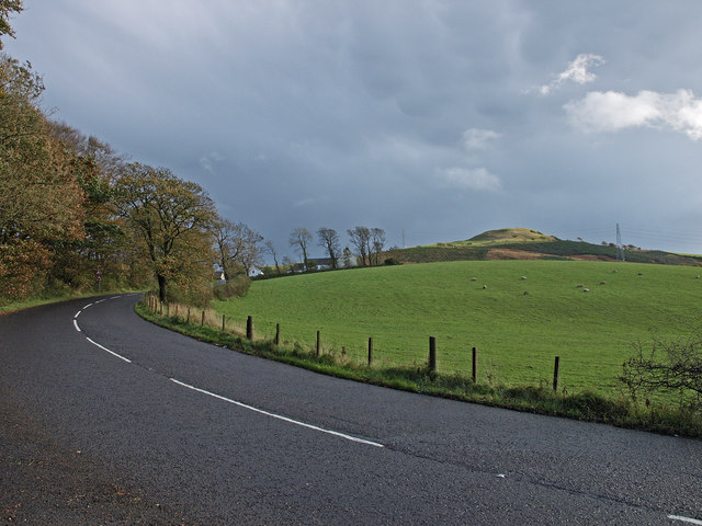
| current | 20:58, 12 March 2015 | | 640 × 480 (79 KB) | Vlad (talk | contribs) | '''West Kilbride-Dalry Road (C) wfmillar '''<br/>Ballees Farm amongst the trees. Blackshaw Hill on the right. |
File usage
The following page uses this file:
_wfmillar_-_Geograph_-_1017696.jpg&oldid=396135)