File:West Mayne (C) terry joyce - Geograph - 2140424.jpg
Jump to navigation
Jump to search

No higher resolution available.
West_Mayne_(C)_terry_joyce_-_Geograph_-_2140424.jpg (640 × 409 pixels, file size: 69 KB, MIME type: image/jpeg)
| |||||||||||||||||||||||||
|
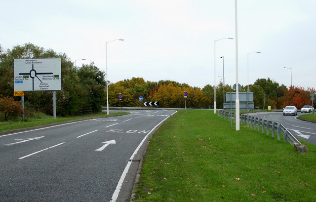
Galleries | B148 | Basildon | Advance Direction Sign | Dunton Junction | ||
File history
Click on a date/time to view the file as it appeared at that time.
| Date/Time | Thumbnail | Dimensions | User | Comment | |
|---|---|---|---|---|---|
| current | 16:27, 5 November 2013 | | 640 × 409 (69 KB) | Vlad (talk | contribs) | '''West Mayne (C) terry joyce '''<br/>Otherwise known as the B148 a substantial "B" road. |
File usage
The following 5 pages use this file:
_terry_joyce_-_Geograph_-_2140424.jpg&oldid=423947)