File:West Worthing Crossing - Geograph - 18757.jpg
Jump to navigation
Jump to search

No higher resolution available.
West_Worthing_Crossing_-_Geograph_-_18757.jpg (640 × 413 pixels, file size: 91 KB, MIME type: image/jpeg)
| |||||||||||||||||||||||||
|
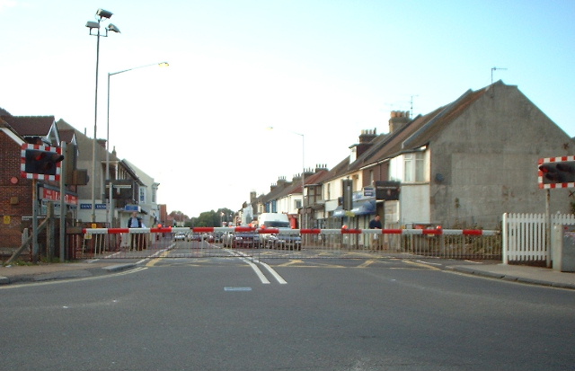
Galleries | A2031 | B2141 (Worthing) | Level Crossing | S2 | ||
File history
Click on a date/time to view the file as it appeared at that time.
| Date/Time | Thumbnail | Dimensions | User | Comment | |
|---|---|---|---|---|---|
| current | 19:56, 12 October 2009 | | 640 × 413 (91 KB) | Bob@romiley1 (talk | contribs) | {{Information |description = West Worthing Crossing |day = 14 |month = 06 |year = 2005 |photographer = © Copyright [http://www.geograph.org.uk/profile/843 Chris Shaw] and licensed for reuse under [http://creativecommons.org/licen |
File usage
The following 3 pages use this file: