File:Westlink, Belfast - Geograph - 1315167.jpg
Jump to navigation
Jump to search

Size of this preview: 559 × 599 pixels. Other resolution: 597 × 640 pixels.
Original file (597 × 640 pixels, file size: 363 KB, MIME type: image/jpeg)
| |||||||||||||||||||||||||
|
Galleries | A12 (Northern Ireland) | Belfast | D2 | ||
File history
Click on a date/time to view the file as it appeared at that time.
| Date/Time | Thumbnail | Dimensions | User | Comment | |
|---|---|---|---|---|---|
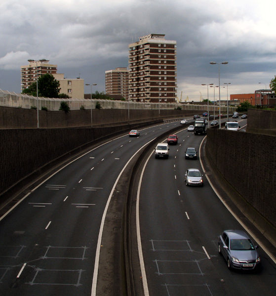
| current | 12:07, 4 May 2010 | | 597 × 640 (363 KB) | Si404 (talk | contribs) | '''Westlink, Belfast'''<br/>The eastern edge of the A12 'Westlink' as viewed from Clifton Street. The tower blocks behind are in the New Lodge area. Normally extremely busy throughout weekdays the road is a major throughpass which skirts the western edge |
File usage
There are no pages that use this file.