File:Westmill Road Subway - Geograph - 144586.jpg
Jump to navigation
Jump to search

No higher resolution available.
Westmill_Road_Subway_-_Geograph_-_144586.jpg (640 × 480 pixels, file size: 144 KB, MIME type: image/jpeg)
| |||||||||||||||||||||||||
|
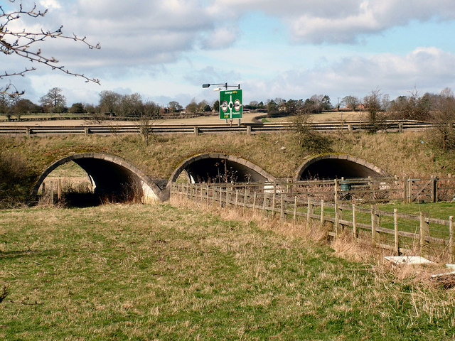
Galleries | A602 | Paynes Hall Roundabout | Advance Direction Sign | ||
File history
Click on a date/time to view the file as it appeared at that time.
| Date/Time | Thumbnail | Dimensions | User | Comment | |
|---|---|---|---|---|---|
| current | 17:05, 15 May 2016 | | 640 × 480 (144 KB) | C2r (talk | contribs) | '''Westmill Road Subway''' The road approaching Westmill Roundabout, taken from the old road. The Advance Direction Sign above if for the Paynes Hall Roundabout |
File usage
The following page uses this file: