File:Whielden Lane - Geograph - 769638.jpg
Jump to navigation
Jump to search

No higher resolution available.
Whielden_Lane_-_Geograph_-_769638.jpg (640 × 480 pixels, file size: 69 KB, MIME type: image/jpeg)
| |||||||||||||||||||||||||
|
Galleries | MC32 (Buckinghamshire) | Amersham | ||
File history
Click on a date/time to view the file as it appeared at that time.
| Date/Time | Thumbnail | Dimensions | User | Comment | |
|---|---|---|---|---|---|
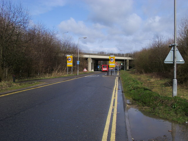
| current | 11:16, 16 June 2010 | | 640 × 480 (69 KB) | Si404 (talk | contribs) | '''Whielden Lane'''<br/>Whielden Lane passing below A413 to Amersham Hospital |
File usage
The following page uses this file: