File:Whitchurch toll bridge - Geograph - 923705.jpg
Jump to navigation
Jump to search

No higher resolution available.
Whitchurch_toll_bridge_-_Geograph_-_923705.jpg (640 × 427 pixels, file size: 170 KB, MIME type: image/jpeg)
| |||||||||||||||||||||||||
|
Galleries | B471 | Whitchurch Bridge | ||
File history
Click on a date/time to view the file as it appeared at that time.
| Date/Time | Thumbnail | Dimensions | User | Comment | |
|---|---|---|---|---|---|
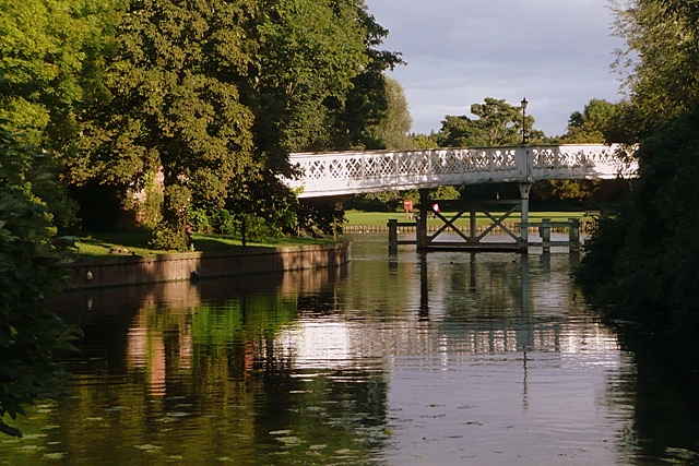
| current | 15:45, 8 March 2010 | | 640 × 427 (170 KB) | Jeni (talk | contribs) | '''Whitchurch toll bridge'''<br/>The northern section of the bridge from across the mill stream near St. Mary's church. |
File usage
The following page uses this file: