File:Whitecrook - Geograph - 312519.jpg
Jump to navigation
Jump to search

No higher resolution available.
Whitecrook_-_Geograph_-_312519.jpg (640 × 427 pixels, file size: 247 KB, MIME type: image/jpeg)
| |||||||||||||||||||||||||
|
Galleries | b9017 | ||
File history
Click on a date/time to view the file as it appeared at that time.
| Date/Time | Thumbnail | Dimensions | User | Comment | |
|---|---|---|---|---|---|
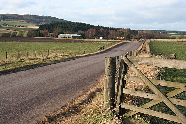
| current | 14:33, 23 April 2010 | | 640 × 427 (247 KB) | Bob@romiley1 (talk | contribs) | '''Whitecrook'''<br/>Looking along the B9017 towards Whitecrook Farm. The hill in the distance is the Hill of Muldearie in <a href="http://www.geograph.org.uk/gridref/NJ3851">NJ3851</a>. |
File usage
The following 2 pages use this file: