File:Whitstable Road, Canterbury (C) Malc McDonald - Geograph - 3717021.jpg
Jump to navigation
Jump to search

No higher resolution available.
Whitstable_Road,_Canterbury_(C)_Malc_McDonald_-_Geograph_-_3717021.jpg (640 × 360 pixels, file size: 70 KB, MIME type: image/jpeg)
| |||||||||||||||||||||||||
|
Galleries | A290 | NCN1 | Canterbury | ||
File history
Click on a date/time to view the file as it appeared at that time.
| Date/Time | Thumbnail | Dimensions | User | Comment | |
|---|---|---|---|---|---|
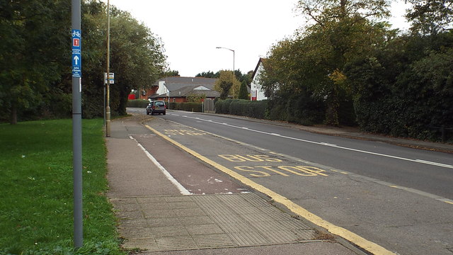
| current | 15:04, 30 January 2014 | | 640 × 360 (70 KB) | Si404 (talk | contribs) | '''Whitstable Road, Canterbury (C) Malc McDonald '''<br/>The blue marker on the post in the foreground indicates the route of National Cycle Network route 1, to John o'Groats. Cyclists use the pavement here rather than the road.<br /> <br /> |
File usage
There are no pages that use this file.
_Malc_McDonald_-_Geograph_-_3717021.jpg&oldid=362046)