File:Widcombe Baptist Church - Geograph - 5060884.jpg
Jump to navigation
Jump to search

No higher resolution available.
Widcombe_Baptist_Church_-_Geograph_-_5060884.jpg (640 × 427 pixels, file size: 80 KB, MIME type: image/jpeg)
| |||||||||||||||||||||||||
|
Galleries | A3062 | A36 | Widcombe Parade | Bath | ||
File history
Click on a date/time to view the file as it appeared at that time.
| Date/Time | Thumbnail | Dimensions | User | Comment | |
|---|---|---|---|---|---|
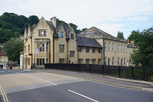
| current | 14:43, 11 August 2016 | | 640 × 427 (80 KB) | Rileyrob (talk | contribs) | '''Widcombe Baptist Church''' Formerly Ebenezer Chapel, the church has been in turn occupied by Congregationalists, Methodists and Anglicans, before the Baptists took it over in 1849. It is also noted for the texts on its rooftop for the benefit of the... |
File usage
The following 3 pages use this file: