File:Wightwick Bridge - Geograph - 398262.jpg
Jump to navigation
Jump to search

No higher resolution available.
Wightwick_Bridge_-_Geograph_-_398262.jpg (640 × 480 pixels, file size: 109 KB, MIME type: image/jpeg)
| |||||||||||||||||||||||||
|
Galleries | U114 (Wolverhampton) | Wolverhampton | Wightwick Bridge | ||
File history
Click on a date/time to view the file as it appeared at that time.
| Date/Time | Thumbnail | Dimensions | User | Comment | |
|---|---|---|---|---|---|
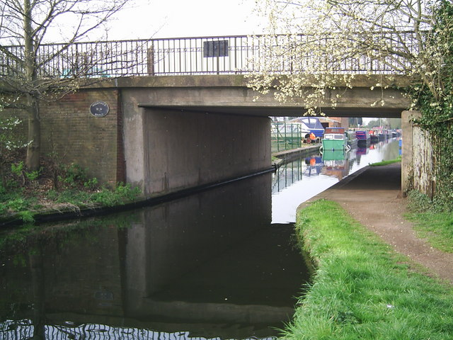
| current | 08:45, 1 April 2020 | | 640 × 480 (109 KB) | Steven (talk | contribs) | '''Wightwick Bridge''' Windmill Lane crosses the Staffordshire and Worcestershire Canal. |
File usage
The following 3 pages use this file: