File:Wild Lane - Geograph - 4250639.jpg
Jump to navigation
Jump to search

No higher resolution available.
Wild_Lane_-_Geograph_-_4250639.jpg (640 × 480 pixels, file size: 95 KB, MIME type: image/jpeg)
| |||||||||||||||||||||||||
|
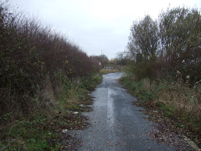
Galleries | B5410 | Abandoned Road | ||
File history
Click on a date/time to view the file as it appeared at that time.
| Date/Time | Thumbnail | Dimensions | User | Comment | |
|---|---|---|---|---|---|
| current | 18:47, 20 July 2016 | | 640 × 480 (95 KB) | Vlad (talk | contribs) | '''Wild Lane''' Still shown as a through "B" road, this section is currently blocked off and closed to motorised traffic. Heading north. |
File usage
The following page uses this file: