File:William Street, Swindon - Geograph - 1497539.jpg
Jump to navigation
Jump to search

No higher resolution available.
William_Street,_Swindon_-_Geograph_-_1497539.jpg (640 × 480 pixels, file size: 177 KB, MIME type: image/jpeg)
| |||||||||||||||||||||||||
File history
Click on a date/time to view the file as it appeared at that time.
| Date/Time | Thumbnail | Dimensions | User | Comment | |
|---|---|---|---|---|---|
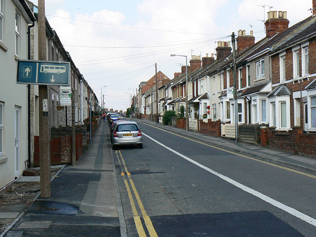
| current | 13:47, 8 March 2010 | | 640 × 480 (177 KB) | Jeni (talk | contribs) | '''William Street, Swindon'''<br/>William Street runs north-east towards the centre of Swindon. It is typical of the many substantial Victorian terraces to be found in this part of the town. |
File usage
There are no pages that use this file.