File:Wind turbine - Geograph - 230885.jpg
Jump to navigation
Jump to search

Size of this preview: 454 × 599 pixels. Other resolution: 485 × 640 pixels.
Original file (485 × 640 pixels, file size: 29 KB, MIME type: image/jpeg)
| |||||||||||||||||||||||||
|
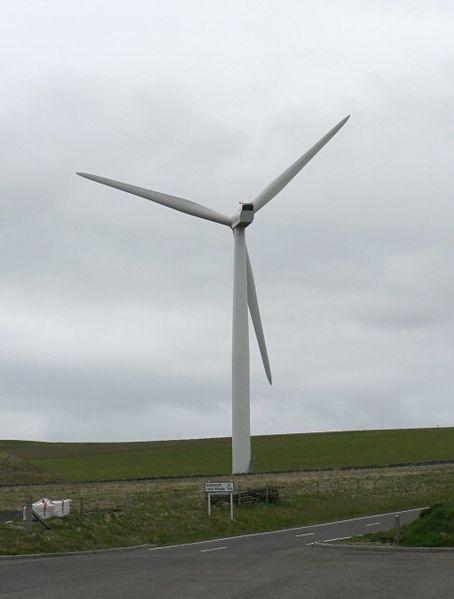
Galleries | B9070 | Route Confirmation Sign | Orkney | ||
File history
Click on a date/time to view the file as it appeared at that time.
| Date/Time | Thumbnail | Dimensions | User | Comment | |
|---|---|---|---|---|---|
| current | 14:37, 11 February 2010 | | 485 × 640 (29 KB) | Orudge (talk | contribs) | {{Information |description = Wind turbine on Sanday, plus B9070 route confirmation sign |day = 19 |month = 05 |year = 2006 |photographer = © Copyright [http://www.geograph.org.uk/profile/827 Rob Burke] and licensed for reuse unde |
File usage
The following 6 pages use this file: