File:Wolvercote Viaduct - Geograph - 1387811.jpg
Jump to navigation
Jump to search

No higher resolution available.
Wolvercote_Viaduct_-_Geograph_-_1387811.jpg (640 × 426 pixels, file size: 95 KB, MIME type: image/jpeg)
| |||||||||||||||||||||||||
|
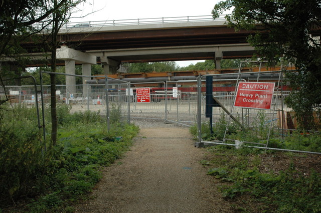
Galleries | A34 | Oxford | Oxford Ring Road | Wolvercote Viaduct | ||
File history
Click on a date/time to view the file as it appeared at that time.
| Date/Time | Thumbnail | Dimensions | User | Comment | |
|---|---|---|---|---|---|
| current | 22:37, 20 April 2010 | | 640 × 426 (95 KB) | Si404 (talk | contribs) | '''Wolvercote Viaduct'''<br/>Major construction work is currently being undertaken on the Wolvercote Viaduct, here it is viewed from the bridleway which passes below it. |
File usage
The following 3 pages use this file: