File:Wooded C446.jpg
Jump to navigation
Jump to search

Size of this preview: 800 × 600 pixels. Other resolutions: 2,560 × 1,920 pixels | 5,184 × 3,888 pixels.
Original file (5,184 × 3,888 pixels, file size: 1.05 MB, MIME type: image/jpeg)
| |||||||||||||||||||||||||
|
Galleries | C446 (Perth and Kinross) | ||
File history
Click on a date/time to view the file as it appeared at that time.
| Date/Time | Thumbnail | Dimensions | User | Comment | |
|---|---|---|---|---|---|
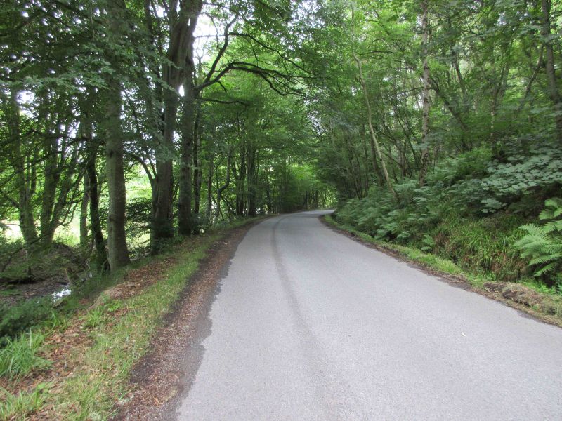
| current | 18:28, 18 February 2019 | | 5,184 × 3,888 (1.05 MB) | Scotti (talk | contribs) | Twisty wooded section of road two miles north-west of Alyth, with the Alyth Burn on the left. |
File usage
The following page uses this file: