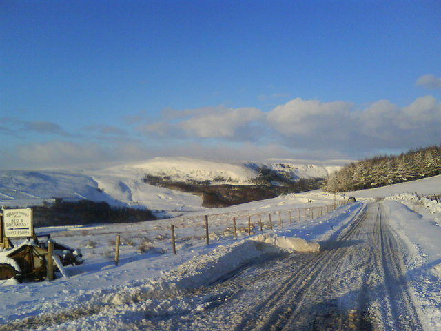
File:Woodhead Road with junction at Padfield Main Road - Geograph - 1665336.jpg
Jump to navigation
Jump to search

No higher resolution available.
Woodhead_Road_with_junction_at_Padfield_Main_Road_-_Geograph_-_1665336.jpg (640 × 480 pixels, file size: 68 KB, MIME type: image/jpeg)
| |||||||||||||||||||||||||
|
Galleries | B6105 | ||
File history
Click on a date/time to view the file as it appeared at that time.
| Date/Time | Thumbnail | Dimensions | User | Comment | |
|---|---|---|---|---|---|
| current | 18:58, 18 January 2010 | | 640 × 480 (68 KB) | Jeni (talk | contribs) | {{Information |description = Woodhead Road with junction at Padfield Main Road |day = 06 |month = 01 |year = 2010 |photographer = © Copyright [http://www.geograph.org.uk/profile/38902 Benjamin Hopkins] and licensed for reuse unde |
File usage
The following page uses this file: