File:Woodmill Lane, Southampton (C) GaryReggae - Geograph - 26903.jpg
Jump to navigation
Jump to search

No higher resolution available.
Woodmill_Lane,_Southampton_(C)_GaryReggae_-_Geograph_-_26903.jpg (640 × 480 pixels, file size: 70 KB, MIME type: image/jpeg)
| |||||||||||||||||||||||||
|
Galleries | C351 (Southampton) | Southampton | ||
File history
Click on a date/time to view the file as it appeared at that time.
| Date/Time | Thumbnail | Dimensions | User | Comment | |
|---|---|---|---|---|---|
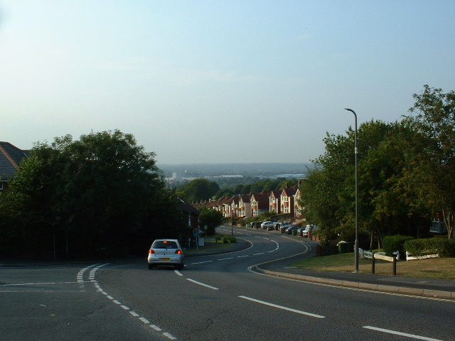
| current | 23:09, 11 July 2014 | | 640 × 480 (70 KB) | Si404 (talk | contribs) | '''Woodmill Lane, Southampton (C) GaryReggae '''<br/>Looking North from the top of the hill (by The Castle pub) in Woodmill Lane, Townhill Park. The views from here are spectacular and it is one of the highest hills in Southampton. |
File usage
There are no pages that use this file.
_GaryReggae_-_Geograph_-_26903.jpg&oldid=380429)