File:Wye Bridge.jpg
Jump to navigation
Jump to search

No higher resolution available.
Wye_Bridge.jpg (640 × 480 pixels, file size: 67 KB, MIME type: image/jpeg)
| |||||||||||||||||||||||||
|
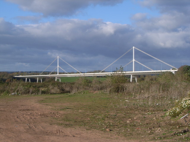
Galleries | M48 | Wye Bridge (Chepstow) | Photo of the Month March 2010 | ||
File history
Click on a date/time to view the file as it appeared at that time.
| Date/Time | Thumbnail | Dimensions | User | Comment | |
|---|---|---|---|---|---|
| current | 19:03, 19 May 2009 | | 640 × 480 (67 KB) | Jeni (talk | contribs) | {{Information |Description=River Wye Bridge (M48) |Source=From [http://www.geograph.org.uk/photo/609667 geograph.org.uk] |Date=2007-11-11 |Author=[http://www.geograph.org.uk/profile/15201 UK Payphone Directory] |Permission=Creative Commons Attribution Sha |
File usage
The following 4 pages use this file: