File:Y Junction near Ashford, Co. Wicklow - Geograph - 1437953.jpg
Jump to navigation
Jump to search

No higher resolution available.
Y_Junction_near_Ashford,_Co._Wicklow_-_Geograph_-_1437953.jpg (640 × 480 pixels, file size: 144 KB, MIME type: image/jpeg)
| |||||||||||||||||||||||||
|
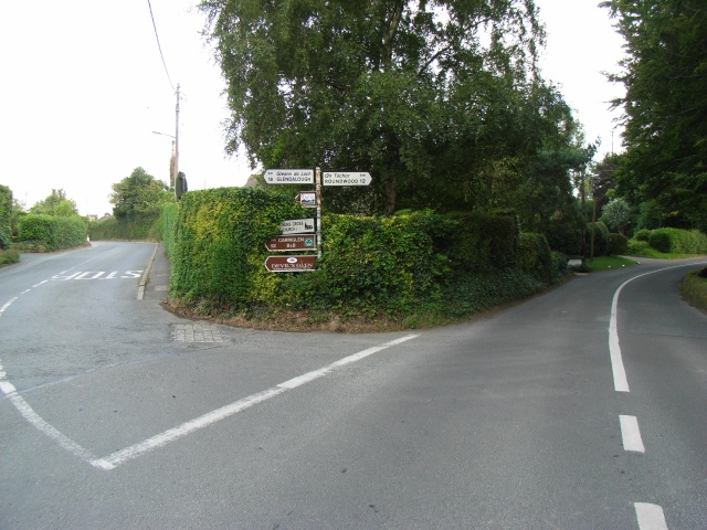
Galleries | R763 | R764 | Fingerpost | ||
File history
Click on a date/time to view the file as it appeared at that time.
| Date/Time | Thumbnail | Dimensions | User | Comment | |
|---|---|---|---|---|---|
| current | 05:56, 24 May 2016 | | 640 × 480 (144 KB) | C2r (talk | contribs) | '''Y Junction near Ashford, Co. Wicklow''' R763 to Annamoe / Laragh / Glendalough is to the left and the R764 to Roundwood straight on. |
File usage
The following 3 pages use this file: