File:Yar Bridge (C) David Dixon - Geograph - 3759191.jpg
Jump to navigation
Jump to search

No higher resolution available.
Yar_Bridge_(C)_David_Dixon_-_Geograph_-_3759191.jpg (640 × 480 pixels, file size: 237 KB, MIME type: image/jpeg)
| |||||||||||||||||||||||||
|
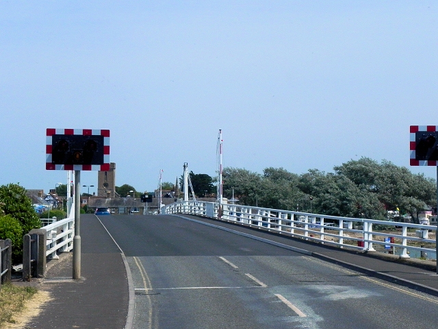
Galleries | A3054 | Yar Bridge (Yarmouth) | ||
File history
Click on a date/time to view the file as it appeared at that time.
| Date/Time | Thumbnail | Dimensions | User | Comment | |
|---|---|---|---|---|---|
| current | 13:47, 17 September 2014 | | 640 × 480 (237 KB) | Jeni (talk | contribs) | '''Yar Bridge (C) David Dixon '''<br/>Swing bridge across the River Yar at Yarmouth. |
File usage
The following 2 pages use this file:
_David_Dixon_-_Geograph_-_3759191.jpg&oldid=387406)