File:Yarmouth to Lymington Ferry - Geograph - 833641.jpg
Jump to navigation
Jump to search

No higher resolution available.
Yarmouth_to_Lymington_Ferry_-_Geograph_-_833641.jpg (640 × 480 pixels, file size: 144 KB, MIME type: image/jpeg)
| |||||||||||||||||||||||||
|
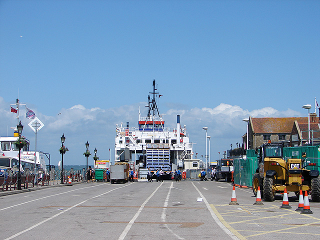
Galleries | Lymington - Yarmouth ferry | Isle of Wight | ||
File history
Click on a date/time to view the file as it appeared at that time.
| Date/Time | Thumbnail | Dimensions | User | Comment | |
|---|---|---|---|---|---|
| current | 12:13, 22 April 2010 | | 640 × 480 (144 KB) | Si404 (talk | contribs) | '''Yarmouth to Lymington Ferry'''<br/>The vehicle assembly point in the foreground is empty as the ferry has been loaded prior to departure. |
File usage
The following 2 pages use this file: