Gallery:A1089
From Roader's Digest: The SABRE Wiki
Jump to navigation
Jump to search
A1000-A1099 > A1089
This gallery has no child categories
A1089
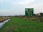
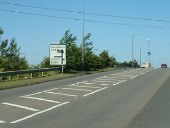
A1089 looking towards Tilbury
Taken from the old A13 (A1013) east of Grays. The trumpet junction of A1089/A13 is just behind me.
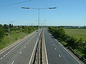
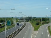
Originally uploaded to Coppermine on Jun 18, 2007 by Sunil_of_YoxleyA1089 viewed from A1013, just north of Tilbury/east of Grays.
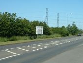
Looking north, showing slips to/from the A13 at the trumpet junction. The A13 mainline is visible in the background going over the A1089. North of the A13, the A1089 curves west and then splits into the eastbound slips. The A13 between M25 and A128 as well as the A1089 were opened in 1982 as a 'Grays Bypass' project. The A13, despite losing trunk status east of here, is D3 throughout, up to the A128.
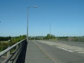
Originally uploaded to Coppermine on Jun 04, 2006 by Sunil_of_YoxleyA1013 Stanford Road (old A13)
Bridge over the A1089 (qv.) looking east.
Originally uploaded to Coppermine on Jun 04, 2006 by Sunil_of_YoxleyA1013 Stanford Road (old A13)
Situated just west of the bridge over the A1089 (qv.), an eastbound sign for the B188 Baker Street.
Originally uploaded to Coppermine on Jun 04, 2006 by Sunil_of_YoxleyA1013 Stanford Road (old A13)
Sign for farm access road just west of the bridge over the A1089 (qv.)
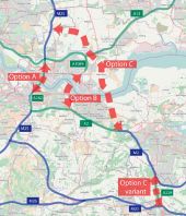
Originally uploaded to Coppermine on Jun 04, 2006 by Sunil_of_YoxleyOptions for the Lower Thames Crossing
Hidden categories:
