Gallery:A17
From Roader's Digest: The SABRE Wiki
Jump to navigation
Jump to search
A1-A99 > A17
This gallery has no child categories
A17
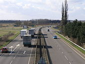
A17 Leadenham
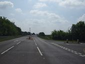
Oct 1993. Did Leadenham need its bypass? Looking north.
Originally uploaded to Coppermine on Jul 03, 2007 by SteveA30A17
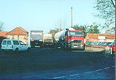
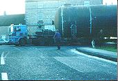
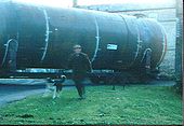
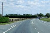
An abnormal load weaves its way around the sharp bend in Leadenham, heading north.
Originally uploaded to Coppermine on Jul 03, 2007 by SteveA30A17
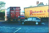
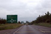
Oct 1993. One man and his dog told me the bypass construction was imminent. The man agreed with the dog. I think it opened in 94 or 95.
Originally uploaded to Coppermine on Jul 03, 2007 by SteveA30Cross Keys Bridge
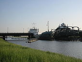
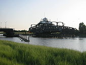
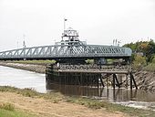
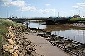
Crosskeys Bridge is the third bridge to cross the river Nene at this location. The first timber and cast iron bridge was built by Rennie & Telford in 1831. It was replaced by another, designed by Robert Stephenson, in 1850. The current bridge, a swing bridge like its predecessor, was built in 1897 and used to once cater for road traffic on one side and rail on the other. The railway reached Sutton Bridge in 1862 but with the Beeching cuts it was closed in 1965 and the bridge converted to purely road use, taking the A17 over the river. For a closer view see > <a title='http://www.geograph.org.uk/photo/1528308' rel='nofollow' href='http://www.geograph.org.uk/photo/1528308'>Link</a><img style='padding-left:2px;' alt='External link' title='External link - shift click to open in new window' src='http://s0.geograph.org.uk/img/external.png' width='10' height='10'/>.
Crosskeys Bridge is the third bridge to cross the river Nene at this location. The first timber and cast iron bridge was built by Rennie & Telford in 1831. It was replaced by another, designed by Robert Stephenson, in 1850. The current bridge, a swing bridge like its predecessor, was built in 1897 and used to once cater for road traffic on one side and rail on the other. The railway reached Sutton Bridge in 1862 but with the Beeching cuts it was closed in 1965 and the bridge converted to purely road use, taking the A17 over the river. For a closer view see > <a title='http://www.geograph.org.uk/photo/1528308' rel='nofollow' href='http://www.geograph.org.uk/photo/1528308'>Link</a><img style='padding-left:2px;' alt='External link' title='External link - shift click to open in new window' src='http://s0.geograph.org.uk/img/external.png' width='10' height='10'/>.
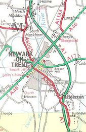
Newark-on-Trent in 1978 This page includes a scan of a non-free copyrighted map, and the copyright for it is most likely held by the company or person that produced the map. It is believed that the use of a limited number of web-resolution scans qualifies as fair use under United States copyright law, where this web page is hosted, as such display does not significantly impede the right of the copyright holder to sell the copyrighted material, is not being used to generate profit in this context, and presents information that cannot be exhibited otherwise.
If the copyright holder considers this is an infringement of their rights, please contact the Site Management Team to discuss further steps.
If the copyright holder considers this is an infringement of their rights, please contact the Site Management Team to discuss further steps.
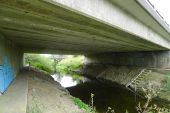
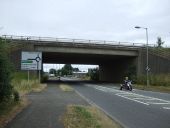
The River Witham below Beckingham Bridge (C) Tim Heaton
The bridge carries the A17 Beckingham bypass. The sloping banks carry river gauging equipment
The bridge carries the A17 Beckingham bypass. The sloping banks carry river gauging equipment
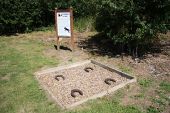
Byard's leap According to local legend, hundreds of years ago, an ugly old witch called Meg and her black cat were held responsible for failing crops and dying cattle on Ancaster Heath. A local knight 'Big Jim' and his trusty steed Byard approached the witches hovel .... she attacked them and sunk her claws into Byard who made a prodigious leap, greater than any horse had ever made before. The witch fell off whereupon Big Jim dismounted and killed her. The four horseshoes mark the spot where Byard landed and has been known as 'Byard's Leap' ever since. http://en.wikipedia.org/wiki/Byards_Leap
Gallery of A17 related videos
Holdingham Roundabout - Artists Impression
Holdingham Roundabout from the Air
Bonemill Junction (Sleaford Rugby Club) from the Air
Hidden categories:
