Gallery:A18

From Roader's Digest: The SABRE Wiki
Jump to navigation Jump to search
A1-A99 > A18


This gallery has no child categories
A18


Summary[edit source]

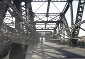
King George V Bridge.jpg
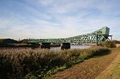
Keadby Bridge - Coppermine - 9194.jpg
Keadby Bridge

The bridge at Keadby which carries the A18 over the River Trent.

Originally uploaded to Coppermine on Nov 17, 2006 by Lonewolf
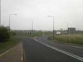
A18 Hatfield Lane roundabout.jpg
Hatfield Lane Roundabout on the A18.
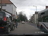
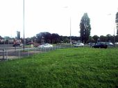
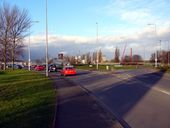
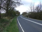
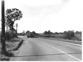
A18 Hatfield.jpg
The A18 in Hatfield.
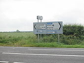
A18 Keelby North Lincs. Route Sign - Coppermine - 12881.JPG
A18 Keelby North Lincs. Route Sign

Blue border on sign

Originally uploaded to Coppermine on Jun 15, 2007 by FreddyTheFrog
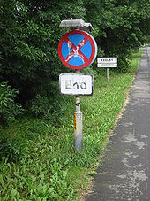
A18 Clearway End Sign - Coppermine - 12883.JPG
A18 Clearway End Sign

At Keelby village.

Originally uploaded to Coppermine on Jun 15, 2007 by FreddyTheFrog
A18 River Trent bridge.jpg
A bridge at Althorpe over the River Trent.
Tudworth Roundabout - Geograph - 1238913.jpg
Tudworth Roundabout
Berkeley Circle, Scunthorpe - Geograph - 60187.jpg
Berkeley Circle, Scunthorpe
Morrison's Roundabout - Geograph - 289366.jpg
Morrison's Roundabout
This roundabout, commonly known as Morrison's, is situated at the junction of the A18 and A1029.
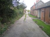
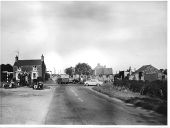
Former route of A18 Hatfield.JPG
It doesn't look like this road was ever classified as the A18, but it's clear that this was once the main road.
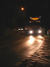
A18 comes back to life.JPG
Not the best quality photo, but this shows the A18 coming back to life after the M18 is closed.
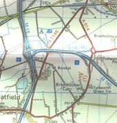
A18(M).jpg
1979 OS Landranger Map of A18(M) in it's final days from Pathetic Motorways

This page includes a scan of a non-free copyrighted map, and the copyright for it is most likely held by the company or person that produced the map. It is believed that the use of a limited number of web-resolution scans qualifies as fair use under United States copyright law, where this web page is hosted, as such display does not significantly impede the right of the copyright holder to sell the copyrighted material, is not being used to generate profit in this context, and presents information that cannot be exhibited otherwise.
If the copyright holder considers this is an infringement of their rights, please contact the Site Management Team to discuss further steps.

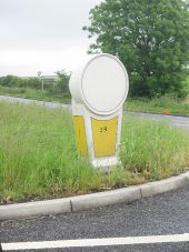
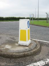
A18 Bollard - Coppermine - 12886.JPG
A18 Bollard Originally uploaded to Coppermine on Jun 15, 2007 by FreddyTheFrog
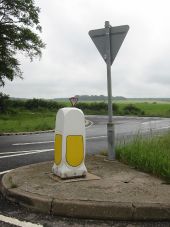
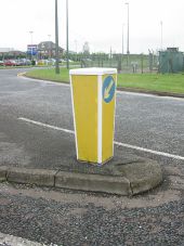
A18 Bollard On Island - Coppermine - 12885.JPG
A18 Bollard On Island Originally uploaded to Coppermine on Jun 15, 2007 by FreddyTheFrog
A18 Bollard - Coppermine - 12884.JPG
A18 Bollard Originally uploaded to Coppermine on Jun 15, 2007 by FreddyTheFrog
A18 Humberside Airport Bollard - Coppermine - 12882.JPG
A18 Humberside Airport Bollard

Island on junction that joins Humberside airport to A18

Originally uploaded to Coppermine on Jun 15, 2007 by FreddyTheFrog
A18 Keelby, North Lincs Island - Coppermine - 12880.JPG
A18 Keelby, North Lincs Island

Island on junction that joins Keelby village to A18

Originally uploaded to Coppermine on Jun 15, 2007 by FreddyTheFrog
A18 Humberside Airport Bollard - Coppermine - 12879.JPG
A18 Humberside Airport Bollard

Junction of Humberside Airport to the A18 At Kirmington

Originally uploaded to Coppermine on Jun 15, 2007 by FreddyTheFrog
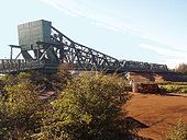
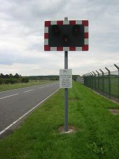
A18 Humberside Airport Runway WigWags - Coppermine - 13510.JPG
A18 Humberside Airport Runway WigWags Originally uploaded to Coppermine on Jun 28, 2007 by FreddyTheFrog
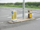
A18 towards Gunness (C) Glyn Drury - Geograph - 1282355.jpg
A18 towards Gunness (C) Glyn Drury
Geograph-3929776-by-JThomas.jpg
Barton Street (A18)
Heading north towards Brigg.
Old A18 A46 laceby crossroads.jpg
Laceby before the Bypass was built
Old a18 laceby.jpg 15.jpg
Laceby
Old a18 laceby.jpg 13.jpg
Laceby
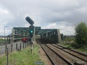
Road and rail bridge over the River Trent - Geograph - 4455402.jpg
Road and rail bridge over the River Trent
20210522 0827 - Keadby Bridge 53.58582N 0.73100W-cropped.JPG
heading west
20210522 0813 - Berkeley Roundabout, Scunthorpe 53.59011N 0.68472W - cropped.JPG
Berkeley Roundabout, Scunthorpe
20210522 0810 - Frodingham Grange 53.588173N 0.698588W - cropped.JPG
Frodingham Grange from the bridge to the south
 

SABRE - The Society for All British and Irish Road Enthusiasts
Discuss - Digest - Discover - Help