Gallery:A25
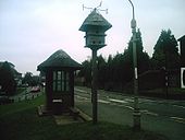
An unusual thatched bus stop and bird house on the A25 at Westcott.
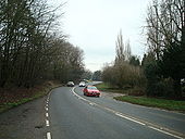
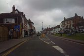
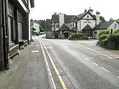
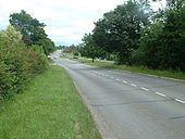
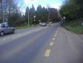
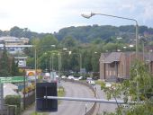
Originally uploaded to Coppermine on Oct 03, 2008 by multiraider2Looking west at Oxted, along what may be a very early bypass. Lights are a post-M25 addition for the inevitable supermarket.
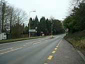
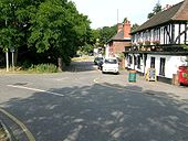
Originally uploaded to Coppermine on Oct 18, 2008 by SteveA30This part was bypassed in the 60's or 70's, although it is easily missed on maps, so short is it. Certainly needed though.
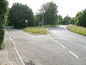
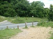
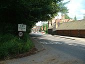
Originally uploaded to Coppermine on Oct 18, 2008 by SteveA30The west end connection to the bypass.
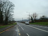
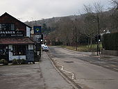
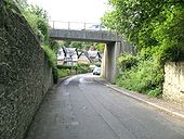
Originally uploaded to Coppermine on Oct 18, 2008 by SteveA30The most obvious part of the bypass. 50's, 60's or, 70's?
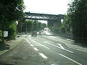
Originally uploaded to Coppermine on Oct 18, 2008 by SteveA30Most of the Dorking to Betchworth section seems to be 1927, either new, or widened.
Originally uploaded to Coppermine on Oct 04, 2008 by SteveA30Top of the climb over the North Downs, looking south. Cafes on both sides. The Newlands Corner one being popular with bikers on weekends.
Originally uploaded to Coppermine on Jun 27, 2007 by SteveA30Looking north down the other side towards Guildford. A25 used to veer left until around the early 70's. A247 used to come up on right, now its the A25 instead and old road is u/c.
Originally uploaded to Coppermine on Jun 27, 2007 by SteveA30Point where it crosses the A25. It runs from Farnham to Dover via Canterbury.
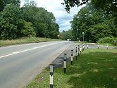
Originally uploaded to Coppermine on Jun 27, 2007 by SteveA30Looking east at the bottom of the descent from the North Downs. Last time I was here, this was still normal D2. Now its D1 on both sides. Instead of using the existing right turn lane visible, for the A248 junction, they now use all of the outside lane on this short DC, the only one between Guildford and Sevenoaks/A21. Same on other side.
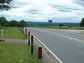
Originally uploaded to Coppermine on Jun 27, 2007 by SteveA30Looking west along the Shere bypass, towards the dualled bit. This is still untouched wide S2. It is not on a 1948 map but, is on a 1959 one.
Originally uploaded to Coppermine on Jun 27, 2007 by SteveA30Looking east, just after the end of the Shere bypass, where it enters Gomshall.
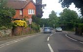
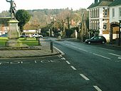
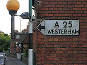
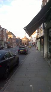
Originally uploaded to Coppermine on Jun 27, 2007 by SteveA30In the attractive small town of Westerham in Kent. Although bypassed by the M25, this road is still busy. This was a quiet moment.
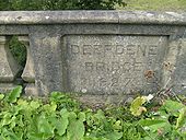
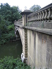
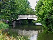
Originally uploaded to Coppermine on Feb 13, 2007 by multiraider2Built in 1927, the bridge carries the A25 road over the River Mole. This is the upstream side.
The raised lettering reveals its age.
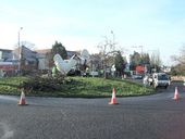
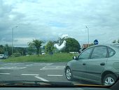
Originally uploaded to Coppermine on Feb 09, 2009 by DavidNW9A giant statue of a Dorking Cockerel is installed at the Deepdene Roundabout.
This is how the route of Radial 10 (London - Portsmouth) from the 1944 map (on CBRD) wouls have run, applied to modern 1:50k. Note how envirnmentally instnsitive this route was, in addition to an engineering nighmare. Originally uploaded to Coppermine on Dec 03, 2005 by M4 Cardiff
This page includes a scan of a non-free copyrighted map, and the copyright for it is most likely held by the company or person that produced the map. It is believed that the use of a limited number of web-resolution scans qualifies as fair use under United States copyright law, where this web page is hosted, as such display does not significantly impede the right of the copyright holder to sell the copyrighted material, is not being used to generate profit in this context, and presents information that cannot be exhibited otherwise.
If the copyright holder considers this is an infringement of their rights, please contact the Site Management Team to discuss further steps.
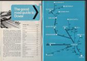
Showing the A25 in its former role as a London Southern bypass. Didn't start at the A30 though.
Originally uploaded to Coppermine on Feb 27, 2008 by SteveA30The bridge carries the A25 (Woodbridge Road) across the navigation, and replaced an earlier wooden bridge. <a href='http://www.geograph.org.uk/photo/1447113'>SU9950 : Looking south to Woodbridge Bridge, Guildford</a>.
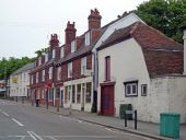
The first building on the right forms part of the Red Cross Inn (see <a href='http://www.geograph.org.uk/photo/820860'>TQ2550 : The Red Cross Inn</a>). The remaining buildings were built around 1900, to replace some earlier which had partly collapsed in 1860 into a system of caves that riddle this area (for example see <a href='http://www.geograph.org.uk/photo/1091358'>TQ2550 : Entrance to The Barons' Cave</a>). To ensure that they were sound, they were built on girders. In the 1970s/80s one of the premises was occupied by a wine bar called 'On the Rocks', with a seating area in one of the caves below.
I'd heard stories of a giant chicken roaming around Dorking. Yeah right. This is from the A24 crossing the A25, heading north. Hey, what's that over there!
Originally uploaded to Coppermine on Jun 28, 2007 by SteveA30