Gallery:A281
From Roader's Digest: The SABRE Wiki
Jump to navigation
Jump to search
A200-A299 > A281
This gallery has no child categories
A281
Summary[edit source]
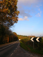
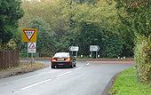
Somewhere on the South Downs
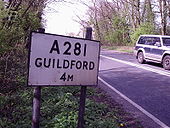
I think this is the A281 or a road thereabouts. Taken Saturday 18 April on what turned out to be a perfect spring day in the countryside. Cropped to take out a bit of red road surface and the car windscreen wipers.
Originally uploaded to Coppermine on Apr 20, 2009 by SabristaOn The A281 Again
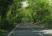
I submitted another pic from this trip back in May. Thought I'd try this treelined view taken on the same road this time and see how that goes. Nice and summery.
Originally uploaded to Coppermine on Jun 20, 2009 by SabristaMock Bridge
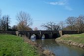
The ancient Mock Bridge crossing the River Adur; it now carries the A281 between Cowfold and Henfield.
The ancient Mock Bridge crossing the River Adur; it now carries the A281 between Cowfold and Henfield.
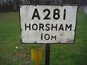
A281 sign Alfold Surrey
These have been kept on nearly all Surrey's A roads
Originally uploaded to Coppermine on Mar 23, 2009 by DavidNW9A281 sign Shalford, Surrey
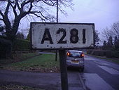
These were one of the few signs not altered by Worboys except the old ones have raised lettering. Urban versions had a yellow border but rural ones were plain like this.
Originally uploaded to Coppermine on Feb 09, 2009 by DavidNW9A281
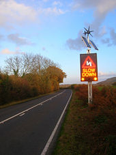
I think the location of this sign is airly easy to work out!
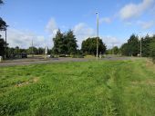
Originally uploaded to Coppermine on Apr 17, 2005 by t1(M)Farthings Hill Interchange Seen from the footbridge between Tanbridge School and the Broadbridge Heath Leisure Centre.
Gallery of A281 related videos
Broadbridge Heath Bypass opening Tuesday January 18th 1983
Hidden categories:
