Gallery:A2 (Northern Ireland)
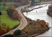
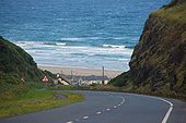
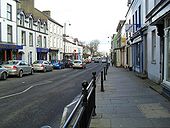
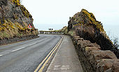
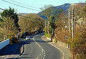
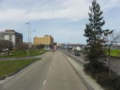
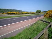
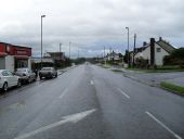
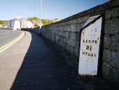
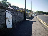
The Newry � Warrenpoint road (A2) at Narrow Water on the approach to Warrenpoint. 22 November 2007. Taken by Wee Hughie
Originally uploaded to Coppermine on Dec 28, 2007 by PeterA5145Picture by Wee Hughie
Nominated by Schult for POTM May 2008.
I like lots of Wee Hughie's photos. This one in particular because of the promise of sunny days (yeah, right) after all this snow. There's no sky - just the appearance of a wall of sea rising beyond, and the balance of light and colour is spot on for my taste.
Go to WH's album for full size version of this.
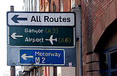
Originally uploaded to Coppermine on Apr 20, 2008 by SchultGantry sign in York Street, approaching Gt George�s Street <a href='http://www.geograph.org.uk/photo/1415904'>J3375 : Great George's Street, Belfast</a> and the Westlink <a href='http://www.geograph.org.uk/photo/582043'>J3475 : The Westlink, York Street, Belfast</a>. The Northside Park and Ride <a href='http://www.geograph.org.uk/photo/1694641'>J3475 : 'Northside' park and ride bus stop, Belfast</a> is on the right.
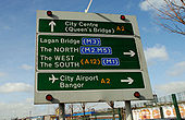
Direction sign at Bridge End. It has rotating panels to display a �tactical diversion route� in the event of the Lagan Bridge being closed.
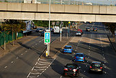
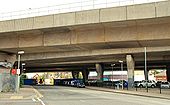
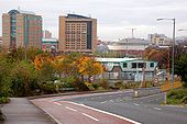
See J3574 : Middlepath Street, Belfast. The view from the Station Street/Bridge End flyover J3474 : The Station Street/Bridge End flyover, Belfast. The road on the left leads to the M3 J3474 : The Lagan Bridge, Belfast. The bridge (top) carries the railway to Londonderry and Larne Harbour J3474 : Elevated railway and road, Belfast.
Part of the route from the Queen Elizabeth Bridge <a href='http://www.geograph.org.uk/photo/587541'>J3474 : The Queen Elizabeth Bridge, Belfast</a> to east Belfast and the signposted route to Downpatrick and Newcastle. The original street dated from around 1870 and (being close to Queen�s Quay <a href='http://www.geograph.org.uk/photo/1629747'>J3474 : The 'Ballykern' at Belfast (2)</a>) contained several coal yards. It was rebuilt in the 1960�s as the approach to the Sydenham bypass and changed again in the 1990�s with the building of the M3. The view is from the Sydenham bypass flyover across Bridge End <a href='http://www.geograph.org.uk/photo/1554583'>J3574 : Bridge End flyover, Belfast</a>. Continue to <a href='http://www.geograph.org.uk/photo/1760909'>J3474 : Middlepath Street, Belfast (2)</a>.
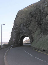
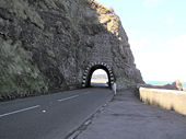
The Carrickfergus � Larne road on the top of the Bla Hole, above the railway tunnel <a href='http://www.geograph.org.uk/photo/312301'>J4791 : Whitehead Tunnel</a>. The old quarry <a href='http://www.geograph.org.uk/photo/428933'>J4791 : The old quarry, Whitehead</a> lies far below to the upper right. On a reasonably clear day there are views to Ailsa Craig <a href='http://www.geograph.org.uk/photo/1199426'>NX1288 : Towards Ailsa Craig</a>.
Faded and peeling sign in Chichester Street. The patch was added when the lower part of the street (passing the Law Courts) was closed (for security reasons) to through traffic. It has now re-opened but as a bus lane and for access only <a href='http://www.geograph.org.uk/photo/1518888'>J3474 : Bus and bus lane, Belfast</a>.
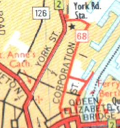
See <a href='http://www.geograph.org.uk/photo/590317'>J3474 : Corporation Street, Belfast (2)</a>. Corporation Street remains closed during the rebuilding of the Belfast sewers. An eerie calm prevails over what was once a street busy with traffic. In the ten minutes I spent here, one pedestrian and four vehicles passed (one had taken the wrong turning). The view is towards Corporation Square at the cross-harbour railway and road <a href='http://www.geograph.org.uk/photo/4750'>J3474 : Belfast Cross Harbour Links</a>.
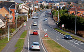
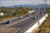
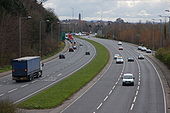
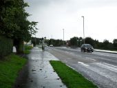
The Sydenham bypass (part of the Belfast - Bangor road), from the Dee Street flyover <a href='http://www.geograph.org.uk/photo/593283'>J3674 : The Dee Street flyover, Belfast</a>, looking towards Bangor.
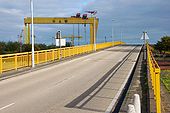
See <a href='http://www.geograph.org.uk/photo/598632'>J3574 : The Sydenham bypass, Belfast (1)</a>. The view in the opposite direction. The Harland & Wolff cranes are at top left. �Goliath� is nearest the camera.
The view along the Sydenham bypass <a href='http://www.geograph.org.uk/photo/593297'>J3674 : The Sydenham bypass, Belfast</a> at the Belfast end with the slip road to Short Strand on the left. The bypass continues to Bridge End (right).
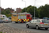
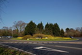
The Newtownards Road roundabout is one of five on the Bangor ring road. It is also the busiest. Just as I was returning my camera to its bag I heard the distinctive �nee-naw� from the nearby fire station. This is the result. Note: part of the roundabout is in J5080.
This is the view towards Belfast from the flyover connecting the Belfast � Bangor road to the Holywood Exchange �retail park�. The spire in the background is St Mark�s, Dundela <a href='http://www.geograph.org.uk/photo/317441'>J3674 : The Lion, the Witch . . .</a>.
See <a href='http://www.geograph.org.uk/photo/733462'>J3784 : The Shore Road near Jordanstown</a>. The road, in this square, looking towards Belfast. This section is expected to be bypassed by the new road.
See <a href='http://www.geograph.org.uk/photo/722901'>J3784 : The Shore Road, Jordanstown</a>. The road, to the NE of the previous photo, looking towards Belfast. This section of the road is to be dualled and will include a roundabout where I am standing. The land for it was reserved many years ago.
Rushpark roundabout is where the M5 joins the Shore Road, Whiteabbey. The M5 is in the foreground but the �End of Motorway� sign is behind the photographer. The view is towards Carrickfergus.
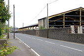
The Bank Road is the road to Carrickfergus. The buildings on the right were used for the storage of coal imported at the Bank Quay. The quay closed to shipping in 1995 and remains unchanged although showing the effects on non-use. This is the view towards Larne.
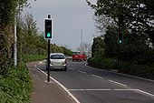
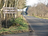
The bridge carrying the Carrickfergus � Larne road over the railway at the Bank Road, Larne <a href='http://www.geograph.org.uk/photo/407129'>D4001 : Railway near Larne</a> is skewed making it next to impossible for lorries to pass without crossing the white line. This set of lights is new and means that traffic no longer meets oncoming vehicles on the bridge. The view is towards Larne. The bridge is on the Bank Road, Larne. The lights and the photographer are on the Main Road, Glynn. See <a href='http://www.geograph.org.uk/photo/407154'>D4000 : Sign between Glynn and Larne</a>.
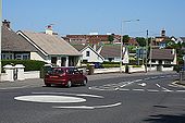
A mini-roundabout in a residential area in Ballycastle. The ugly red blocks on the skyline are schools, in the next square.
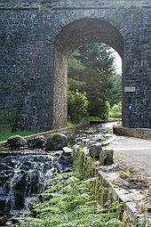
This fine arch carries the main road (A2) between Cushendall and Ballycastle over the Corratavey burn. The road under it is part of the 10km drive around Ballypatrick Forest. The driver must negotiate a shallow ford to pass under the bridge as the carriageway and the stream combine under the span. The bridge was built in 1834 by William Bald. He was also one of the chief engineers of the Cushendall to Ballycastle road.
Londonderry once had four railway companies serving the City.
They are;
Standard gauge;
1:) Great Northern Railway of Ireland, (Foyle Road) Belfast to Londonderry via Portadown (West Bank)
2:) London Midland and Scottish Northern Counties Committee, (Waterside) Belfast to Londonderry via Antrim (East Bank)
Narrow Gauge
3:) Londonderry and Lough Swilly *Pennyburn)(West Bank)
4:) County Donegal Joint Railway Committee. (Victoria Road) (East Bank)
In order for the four railway companies to interchange goods wagons, the Craigavon Bridge was designed and built as a double deck bridge.
The lower deck had a turn-table at either end, and carried trackwork of mixed gauge, 5ft 3ins (Standard gauge), and 3ft 0ins (Narrow gauge).
The goods wagons would have been placed on the turn-table one at a time and hauled across the bridge by winch and chain.
After three out of the four railway companies ceased trading, the lower deck of the bridge was converted to carry road traffic to and from the East and West Banks of Londonderry.
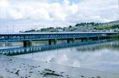
The Craigavon Bridge over the river Foyle in Derry.
Construction began in the late 1920s and was finished in 1933. The lower deck of the current bridge was originally a railway line, but this was replaced by a road in 1968. It was named after Lord Craigavon, a former Prime Minister of Northern Ireland.
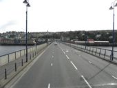
The road runs north-east towards the dual carriageway and the Caw roundabout
This page includes a scan of a non-free copyrighted map, and the copyright for it is most likely held by the company or person that produced the map. It is believed that the use of a limited number of web-resolution scans qualifies as fair use under United States copyright law, where this web page is hosted, as such display does not significantly impede the right of the copyright holder to sell the copyrighted material, is not being used to generate profit in this context, and presents information that cannot be exhibited otherwise.
If the copyright holder considers this is an infringement of their rights, please contact the Site Management Team to discuss further steps.
