Gallery:A3029

From Roader's Digest: The SABRE Wiki
Jump to navigation Jump to search
A3000-A3099 > A3029


This gallery has no child categories
A3029
 
 
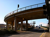
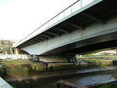
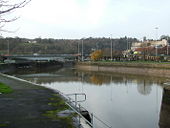
Ramp down from the Swing Bridge - Geograph - 130042.jpg
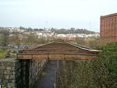
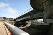
Ramp down from the Swing Bridge
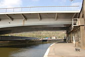
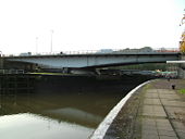
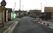
Cumberland basin swing bridge & lock - Geograph - 767439.jpg
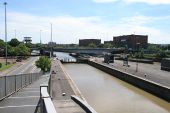
Cumberland basin swing bridge & lock
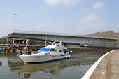
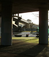
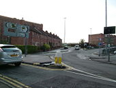
Cumberland basin swing bridge at work - Geograph - 767419.jpg
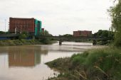
Cumberland basin swing bridge at work
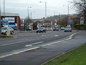
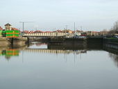
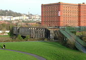
A3029 Ashton Gate.jpg
A3029 in Ashton Gate
Ashton Gate1.jpg
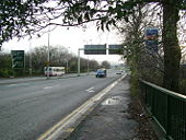
Ashton Gate Interchange - A3029 heading northwards to dive under the A370
Ashton Gate2.jpg
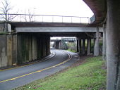
Ashton Gate interchange - The A3029 heading northwards under the A370. The near bridge was added to dual the A370, whilst the far bridge is the original A370 bridge. The Portishead branch line is also on the right.
Ashton Gate3.jpg
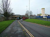
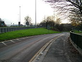
Ashton Gate interchange - the A3029 northbound climbs up to join the A370.
Ashton Gate4.jpg
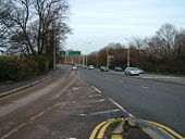
Ashton Gate Interchange - A3029 sliproad heading nothwards joins the A370/A3029 Brunel Way. The start of the A370 junction can be seen in the distance.
Ashton Gate5.jpg
Ashton Gate interchange - A370/A3029 looking southwards at the Ashton Gate Interchange.
Ashton Gate sign.jpg
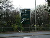
Ashton Gate Interchange - Main sign for the junction when heading southwards on the A370/A3029 Brunel Way. This sign is unusual as it shows the junctions coming off on the right hand side, although the A370 is the main route here.
A3029-2.jpg
A3029 with the sliproads for the A370, looking southwards towards the Ahston Gate Interchange.
A3029-3.jpg
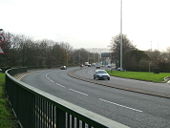
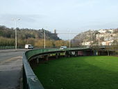
A3029 heading northwards towards Cumberland Basin.
A3029-4.jpg
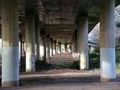
Underneath the A3029 Brunel Way as it heads northwards towards Cumberland Basin.
A3029-5.jpg
A3029 heading northwards towards Cumberland Basin
A3029-6.jpg
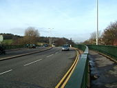
A3029 crossing the River Avon near Cumberland Basin.
A3029-7.jpg
A3029 Plimsoll Bridge at Cumberland Basin.
Cumberland Basin Interchange1.jpg
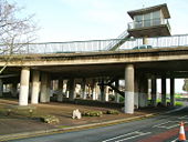
A3029 access for Plimsoll Bridge, crossing the A4 westbound at Cumberland Basin Interchange. The overhead hut is the controls for Plimsoll Bridge
Cumberland Basin Interchage2.jpg
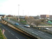
Cumberland Basin Interchange - The flyovers are the A3029 connecting to Plimsoll Bridge (right hand side), whilst the ground level roads are the A4.
Cumberland Basin Interchage3.jpg
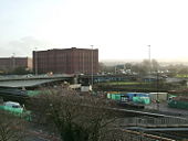
Cumberland Basin Interchange - Plimsoll Bridge and the A3029 heading off to the south.
Cumberland Basin Interchage4.jpg
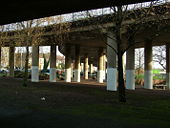
Underneath Cumberland Basin Interchange with the A3029 flyovers.
Plimsoll Bridge1.jpg
A3029 Plimsoll Bridge and the Cumberland Basin Interchange beyond.
Plimsoll Bridge2.jpg
A3029 Plimsoll Bridge taken from Cumberland Basin.
Plimsoll Bridge3.jpg
A3029 Plimsoll Bridge taken from underneath the Cumberland Basin Interchange. Note the spiral staircases which provide pedestrian access to the bridge.
Cumberland Basin1.jpg
Cumberland Basin and the original A3029 swing bridge providing access to the floating harbour.
Cumberland Basin2.jpg
Looking across Cumberland Basin at the A3029/A4 Cumberland Basin Interchange.
Old Swing bridge.jpg
Original A3029 swing bridge providing access across Cumberland Basin.
Old A3029.jpg
From the old swing bridge over Cumberland Basin, the old A3029 route went past this row of houses to cross the River Avon on the Ashton Swing Bridge, which is behind the houses.
Ashton Swing Bridge1.jpg
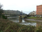
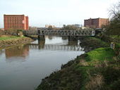
Ashton Swing bridge over the River Avon. Built in 1906, this provided rail access to the docks with road access over the top of the bridge.
Ashton Swing Bridge2.jpg
Ashton Swing Bridge over the River Avon, which provide rail access on the bottom and road access across the top. The pivot point is the right hand pillar and the section between the two pillars would swing out to provide access to ships into the River Avon. Over the top of the swing pillar was a hut which controlled the bridge. Built in 1906, it last opened in the 1950s and today is a footpath.
Ashton Swing Bridge3.jpg
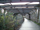
On the Ashton Swing Bridge. Built in 1906, this was originally a double track railway as this level, with the road over the top. Today it is just a footpath as whilst there are still rails on the left hand side, it is doubtful that the bridge is still strong enough to take a train.
Ashton Swing Bridge4.jpg
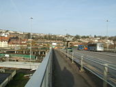
Ashton Swing Bridge, road level. This bridge originally had rails on the bottom level (just about visible on the right hand side), the road ran across the top at this level.
CumberlandBasin.jpg
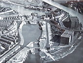
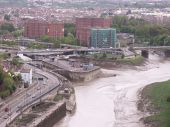
Cumberland Basin before the new road scheme
Bristol view from suspension bridge.jpg
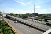
The main roads of Bristol, as seen from the bridge.
Cumb-basin1.jpg
Approaching the Plimsoll Bridge, part of the Cumberland Basin junction in Bristol
Cumb-basin2.jpg
The Plimsoll Bridge, part of the Cumberland Basin junction in Bristol
Cumb-basin3.jpg
The Avon Bridge, part of the Cumberland Basin junction in Bristol
Cumb-basin5.jpg
The Plimsoll Bridge across the Floating Harbour at the Cumberland Basin Junction, Bristol
Cumb-basin6.jpg
A general view of the Cumberland Basin from the footbridge over the A4 at Hotwells, with the Plimsoll Bridge in the background
Geograph-2482303-by-Alex-McGregor.jpg
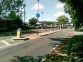
Winterstoke Road, Ashton Gate
 

SABRE - The Society for All British and Irish Road Enthusiasts
Discuss - Digest - Discover - Help