Gallery:A3078
From Roader's Digest: The SABRE Wiki
Jump to navigation
Jump to search
A3000-A3099 > A3078
This gallery has no child categories
A3078
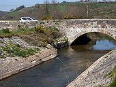
Tregony Bridge
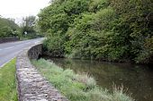
The river Fal was first crossed here in the 14th century. According to the plague this bridge was completed in 1893.
The river Fal was first crossed here in the 14th century. According to the plague this bridge was completed in 1893.
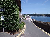
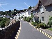
A3078 St Mawes
An extreme form of traffic calming, and fully justifying the 6'6' width limit on this A road
Originally uploaded to Coppermine on Aug 04, 2006 by t1(M)A3078 at St Mawes
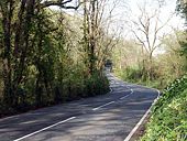
Probably one of the narrowest A roads in the country
Originally uploaded to Coppermine on Aug 04, 2006 by t1(M)A 3078 at St Mawes
The road goes round in a loop, so the narrow part here can be avoided by choosing which branch of the loop to use.
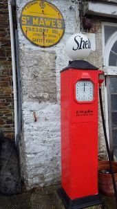
Originally uploaded to Coppermine on Aug 04, 2006 by t1(M)Two pieces of history for the price of one. AA milestone and historic petrol pump outside the former Pomery's Garage, St Mawes.
Hidden categories:
