Gallery:A3220

From Roader's Digest: The SABRE Wiki
Jump to navigation Jump to search
A3200-A3299 > A3220


This gallery has no child categories
A3220
 
 
A3220 - Coppermine - 17005.jpg
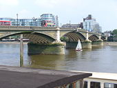
A3220

Battersea Bridge.

Originally uploaded to Coppermine on Feb 20, 2008 by SteveA30
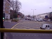
Missed! - Coppermine - 17006.jpg
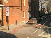
Missed!

Going down Earls Court Rd, narrowly avoids the charge.

Originally uploaded to Coppermine on Feb 20, 2008 by SteveA30
Westway- Wood Lane - A40-A219, W12 - Geograph - 676802.jpg
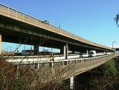
Westway- Wood Lane - A40-A219, W12
Corner of Wood Lane and one of the slip roads to the elevated section of Westway, looking towards North Kensington.
Ringway plans - West Cross Route (southern section) - Coppermine - 3976.JPG
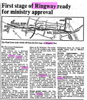
Ringway plans - West Cross Route (southern section)

Article from The Times, Friday, Oct 16, 1970

Originally uploaded to Coppermine on Oct 31, 2005 by DavidB
Old Map London - 1967 - Coppermine - 393.jpg
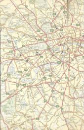
Old Map London - 1967

OP Nightdriver Originally uploaded to Coppermine on Apr 06, 2005 by M4Simon

This page includes a scan of a non-free copyrighted map, and the copyright for it is most likely held by the company or person that produced the map. It is believed that the use of a limited number of web-resolution scans qualifies as fair use under United States copyright law, where this web page is hosted, as such display does not significantly impede the right of the copyright holder to sell the copyrighted material, is not being used to generate profit in this context, and presents information that cannot be exhibited otherwise.
If the copyright holder considers this is an infringement of their rights, please contact the Site Management Team to discuss further steps.

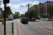
11. Earls Court - Coppermine - 520.jpg
11. Earls Court

The Longest lane is in the middle. The Centre lane heads ever westwards, but the bus turns off here.

Originally uploaded to Coppermine on Apr 09, 2005 by t1(M)
Battersea Bridge.jpg
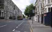
London - Kensington - Warwick Gardens (C) Lewis Clarke - Geograph - 2408746.jpg
London - Kensington - Warwick Gardens (C) Lewis Clarke
Looking down Warwick Gardens from the junction Kensington High Street.
London - Chelsea - Finborough Road (C) Lewis Clarke - Geograph - 2408959.jpg
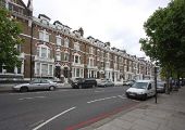
London - Chelsea - Finborough Road (C) Lewis Clarke
Finborough Road which heads towards Old Brompton Road from Fulham Road.
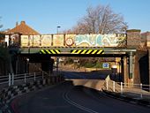
Latchmere Road SW11 (2) (C) Danny Robinson - Geograph - 201932.jpg
Latchmere Road SW11 (2) (C) Danny Robinson
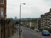
Looking down towards Battersea Park Road. The train going over the bridge is one of the many each day that pass this way from Waterloo. This photo was taken at the junction of Kathleen Road.
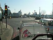
Gunter Grove (C) Thomas Nugent - Geograph - 4220740.jpg
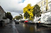
Gunter Grove (C) Thomas Nugent
Sunshine after the rain, between King's Road and Fulham Road.
Holland Road, London W14 (C) John Salmon - Geograph - 1292519.jpg
Holland Road, London W14 (C) John Salmon
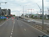
A3220 Approaching the Westfield London Site - Geograph - 425236.jpg
A3220 Approaching the Westfield London Site
Railway Bridge at the low point of Latchmere Road - Geograph - 1646231.jpg
Railway Bridge at the low point of Latchmere Road
 

SABRE - The Society for All British and Irish Road Enthusiasts
Discuss - Digest - Discover - Help